


Cribley · Water Knowledge

The ground under southeast Michigan.Understood by the people who drill it.

Cribley has drilled into this ground and treated what comes out of it since 1946. These guides are the practical knowledge that comes from 80 years of working in two specific counties — written for homeowners, property buyers, and anyone who wants to understand their private water system before something goes wrong.

Published
3 guides
In development
3 guides
Region
Washtenaw · Livingston
Source
1946 — present
All guides

Six guides.Three published. Three more on the way.

  1. 02New wells11 min

    New well drilling.What to expect, start to finish.

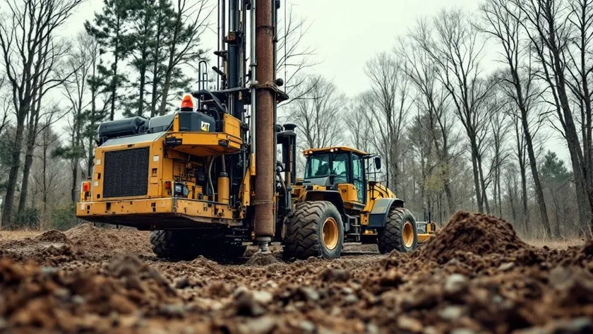
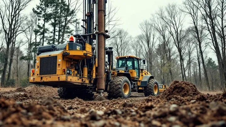
    Most homeowners have never watched a well get drilled. Here is what actually happens at each step — site evaluation, permit, drilling, casing, pump — and why each step matters.

    Read the guide
  2. 03Pump service7 minExpected Summer 2026

    5 signs your well pump is failing.And what to do before it stops.

    Pump failures rarely happen without warning. The early signs — pressure fluctuations, air in the lines, sputtering flow — each tell you something specific about your system. Here is how to read them.

    Currently being written
  3. 04Contaminants · Aesthetic10 min

    Iron in well water.Rust stains, metallic taste, and what actually removes it.

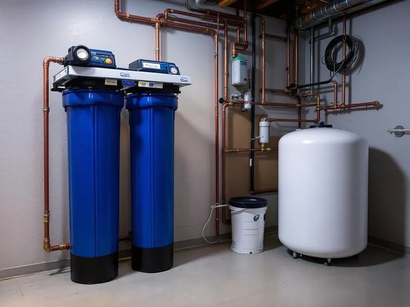
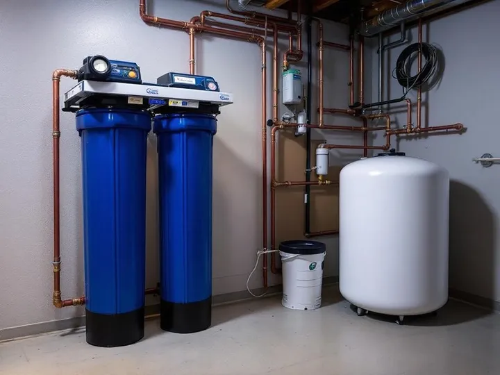
    Iron is the most common complaint in southeast Michigan wells — and the most misdiagnosed. Ferrous, ferric, and bacterial iron each behave differently and each need a different treatment. Here is how to tell them apart.

    Read the guide
  4. 05Cost guide9 minExpected Fall 2026

    What it costs to drill a new well in 2026.Honest numbers from 80 years of Michigan drilling logs.

    Drilling costs vary by depth, soil conditions, and township. Here are the real numbers and the specific factors that drive them up or down — with southeast Michigan context from a company that has drilled here since 1946.

    Currently being written
  5. 06Maintenance6 minExpected Fall 2026

    Annual well maintenance.The 15-minute seasonal inspection that catches problems early.

    A working well is easy to forget — until it stops. This is the simple seasonal checklist that catches developing problems before they become a 2 a.m. emergency call.

    Currently being written
Geology · Structure

What's actually belowyour property?

Current depth0 ftSurface
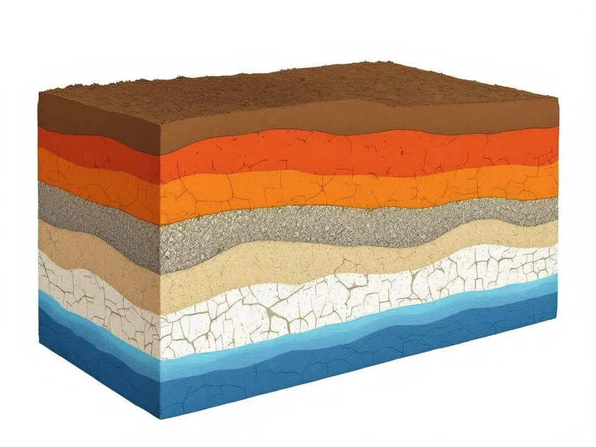
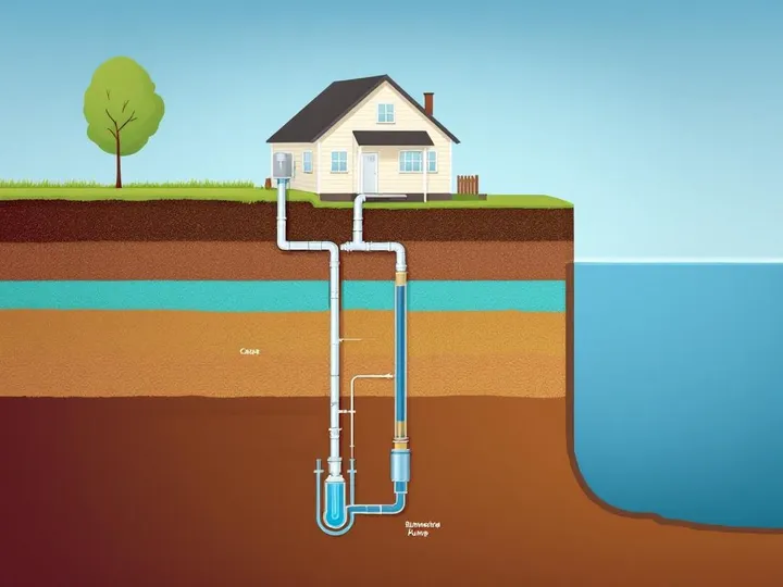
Cribley Well Cross-Section DiagramAnnotated geological cross-section diagram of a southeast Michigan private water well. Reading from the surface down: Surface grass at ground level. Topsoil from 0 to 2 feet — dark organic layer. Michigan Clay from 2 to 18 feet — dense terracotta-red substrate typical of southeast Michigan. Sand and Gravel from 18 to 45 feet — porous water-bearing sediment. A second clay layer from 45 to 60 feet — confining layer above the glacial till. Glacial Till from 60 to 85 feet — mixed gray-brown sediment deposited by glaciers. Limestone bedrock from 85 to 120 feet — Michigan sedimentary formation. Shale from 120 to 155 feet — dense dark-gray sedimentary layer. Aquifer from 155 to 200 feet — the primary saturated water-bearing formation. Well components visible in the diagram: A 6-inch steel well casing runs vertically from the surface through the limestone layer to 120 feet. A pitless adapter at 6 feet provides a frost-proof horizontal connection below the frost line. A drop pipe inside the casing descends into the aquifer. A submersible pump sits at approximately 190 feet depth inside the aquifer zone. A pressure tank sits at the surface to the left of the well head. A supply pipe runs horizontally from the casing toward the house at surface level. All depths are approximate and typical for southeast Michigan residential wells.0 ft18 ft45 ft85 ft120 ft155 ft200 ftWell Cross-SectionSE Michigan — approx. depthsTopsoil0–2 ftMichigan Clay2–18 ftPitless Adapter~6 ft (frost line)Sand & Gravel18–45 ftSecond Clay45–60 ftGlacial Till60–85 ftLimestone85–120 ftCasing end ~120 ftShale120–155 ftAquifer Zone155–200 ftSubmersible Pump~190 ft depthPressure TanksurfaceSteel CasingDepths approximate — typical SE Michigan residential installation
Geological layers
Surfacegrade
Topsoil0–2 ft
Michigan Clay2–18 ft
Sand & Gravel18–45 ft
Second Clay45–60 ft
Glacial Till60–85 ft
Limestone85–120 ft
Shale120–155 ft
Aquifer155–200 ft

A typical residential well in southeast Michigan reaches the aquifer through four distinct geological layers — each one shaping what your water will look like, taste like, and need.

  1. 01Topsoil & glacial clay0–40 ft
  2. 02Sandy glacial deposits40–80 ft
  3. 03Aquifer formation80–160 ft
  4. 04Dense clay & bedrock160+ ft

Cribley's well logs catalog 80 years of drilling across these layers. Before we estimate a depth for your property, we look at what nearby wells found — and how recent ones differ.

Ask us directly

Your specific situationmay not be in any guide.

Every property is different. Every aquifer is different. If you have a question these guides do not answer, ask us directly. We have been answering questions about southeast Michigan groundwater for 80 years — including the ones that do not show up on lists.